This article was published on: 12/20/22 2:17 PM
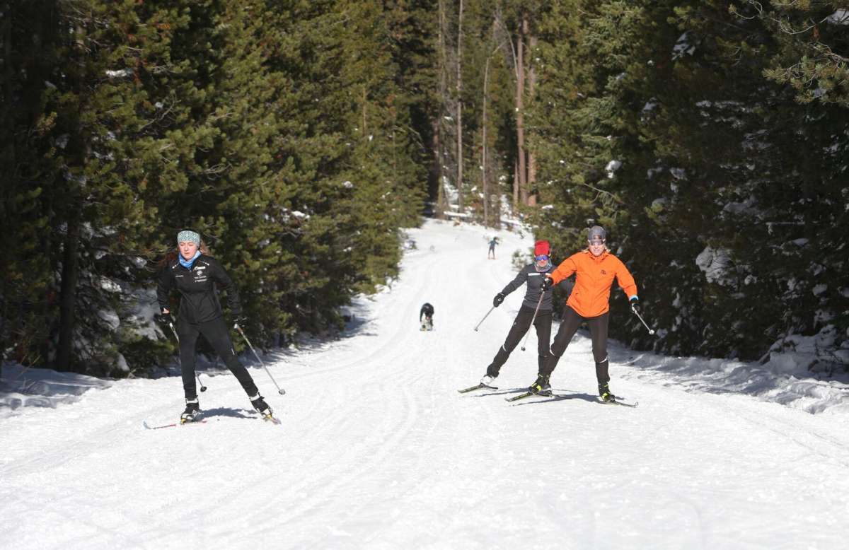
Central Oregon has endured an unusually long cold weather snap over the past week, with temperatures falling into the single digits on Friday. Those who enjoy the cooler weather will have to savor it while it lasts.
While cold snaps will still occur in the coming decades, they are projected to be warmer and less frequent, according to Larry O’Neill, an associate professor at the Oregon State University College of Earth, Ocean, and Atmospheric Sciences.
“We now see clear evidence that this is occurring in Oregon over the last 20-plus years,” said O’Neill. “Extremely cold days are becoming much rarer than they had historically in Bend.”
The recent string of cold weather days has bucked the weather trend in Oregon, which has been experiencing mild winters and blazingly hot summers in recent years as climate change takes its toll on the region.
The average temperature this month in Bend is 27.9 degrees according to data compiled by the National Weather Service, which is 4.2 degrees lower than the normal average of 32.1 degrees. Last month the median temperature was 4.6 degrees lower than normal for November.
Extended periods of sub-zero weather are a departure from last December when the average temperature was 34.3 degrees. Temperatures were even higher in 2019 and 2020 when the average was 34.8 degrees.
The Oregon Climate Change Research Institute, which was created by the state legislature in 2007, reports that the frequency of days warmer than 90 degrees is increasing and the duration and intensity of extreme heat events will increase throughout this century.
Warmer temperatures increase the risk of wildfire and flooding in Oregon. They also reduce snowpack and thin out glaciers, impacting the state’s water supply for both irrigation and municipal use.
Since the year 2000, 87 daily record temperatures have been recorded in Bend. Of those records, only 16 were record lows and 71 were record highs.
“There is strong evidence now in our historical data record that both heat waves and cold snaps are becoming warmer,” said O’Neill.
While December has been cold in Oregon this month, O’Neill said the state is expected to have an average temperature over the entire year. However, this year is a La Nina year, which is typically much cooler than usual, he added.
While temperatures haven’t been extreme in Oregon this year, that has not been the global trend — 2022 is shaping up to be the fourth warmest year on record.
According to the World Meteorological Organization, an arm of the United Nations, global temperatures in 2022 are estimated to be about 1.15 degrees Celsius higher than the 1850-1900 average.
Record-setting heat waves have been recorded in Europe and China. Extreme weather events in Pakistan, East Africa and other regions have killed and displaced thousands and left many more in food insecure situations.
The European Alps experienced record losses of glacier ice this year, with the average thickness of losses between 9 to 13 feet, substantially more than the previous record year of 2003. Ocean temperatures are warming to record levels and sea ice at the polar caps continues to decline to record lows.
The years of 2015 to 2022 are likely to be the eight warmest years on record.
The World Meteorological Organization says La Nina has kept global temperatures slightly lower for the past two years compared to the record highs set in 2016 and 2020, but the temperatures are higher than the last significant La Nina in 2011.
As for the weather outlook in Bend, temperatures will continue to remain cold through most of this week before a slight warming trend breaks the cold snap starting this weekend, sending daytime temperatures into the high 40s.
-Michael Kohn


