


This article was published on: 03/15/18 11:13 AM
By Jake Sahl
Contributing Writer for the Deschutes River Conservancy
When I finally got my head above water, I found myself in the quiet cave formed by our overturned raft. The world under here seemed calm, the roar of the river muffled. For a brief second I considered staying put. The illusion of safety was short lived, however, as I was sucked back underwater when we floated across another hole in the rapids. This time I popped up into sunlight to see my partner swimming for shore as hard as he could. I opted to do the same, managing to snag some rocks and roots just 20-feet upstream of the next Class 4 section. Gasping for breath, awed by the power of the Deschutes, I felt lucky to be alive.
What a dynamic river! Only the day before, I had been enjoying a lazy float on my inner tube a mere 3 miles downstream of the rapids from which I had just narrowly escaped. Even in the middle of a month of 90 degree weather, the water hovered around a frigid 50 degrees. It hadn’t rained in months, yet the flow levels in this reach had jumped from 1,900 to 2,100 cubic-feet-per-second (cfs) since yesterday. How do we explain these seeming contradictions? What makes the Deschutes River tick?
I have spent the better part of a decade studying and working to understand how river systems function and what humans can do to improve our relationship with these amazingly complex systems. As a hydrologist, I can’t help but ask myself what factors come together to give the Deschutes River its character.
Is it the geology of the area? The dominant force in Central Oregon is the volcanism that occurred over millennia as the Juan de Fuca tectonic plate slowly slid under the North American plate, literally melting as it went, before erupting back onto the surface as lava.
Maybe it has more to do with the climate? Lying in the rain shadow formed by the Cascade Range, much of the water in the Deschutes River originates as snowfall which either flows directly into the river or seeps into the porous ground, slowly making its way into the Deschutes via one of the many natural springs within the basin.
Or perhaps it comes down to thousands of years of increasing human impacts on the landscape? There are many large dams on the river and its tributaries which alter the timing and volume of downstream flows, allowing humans to bend the Deschutes to their industrial and agricultural needs.
As you probably know, the answer is that all of these forces together are responsible for creating the Deschutes River that we know today. Furthermore, all three are inextricably linked with one another.
So what makes the Deschutes River tick? Follow along in the coming months as I explore this question as a new Oregonian, novice boater, and aspiring fisherman.
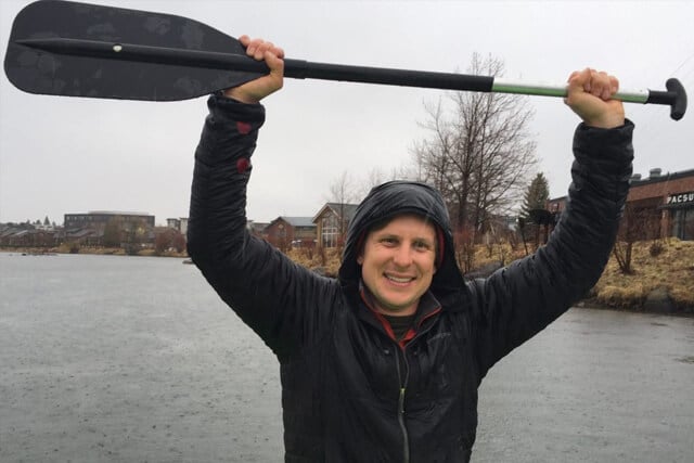
About Jake Sahl:
Born and raised in California, Jake moved to Bend in early 2017. As a hydrologist, he is excited to absorb all the local knowledge of the Deschutes River system!Jake has a BS in Geohydrology from UC Santa Barbara and a MESM in Water Resources from the Bren School of Environmental Science and Management. As a consultant, he strives to mitigate human impacts on the freshwater systems upon which we rely, and to restore natural function to highly-urbanized watersheds. Jake spends too much of his free time rock climbing, but also gets out boating and cycling whenever possible.