


This article was published on: 02/18/22 8:26 AM
The current dry spell is likely to end soon but Oregon will need a lot of rain to help it recover after two years of drought.
Pete Parson, lead meteorologist with the Oregon Department of Forestry, said in his latest three-month forecast that rain is likely to return in March and continue in April. His forecasts are designed to help the state with smoke management during prescribed field-burning operations.
“A transition to generally stormy conditions is indicated for March and April with above-average precipitation,” the forecast said. “That would help snowpacks that started strong but stalled from mid-January through mid-February.”
Wetter weather is needed in Oregon to fight the drought, said Larry O’Neill, state climatologist.
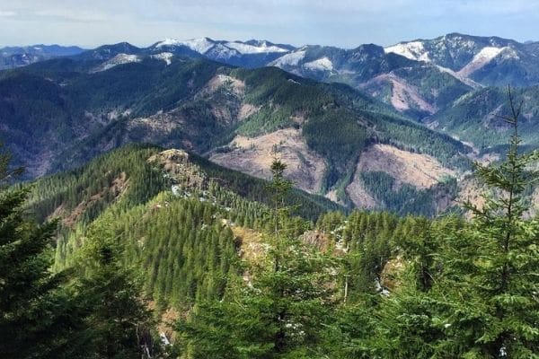
“We’re at a critical time right now,” O’Neill said, with Oregon and other parts of the West heading into the third year of a drought. He is especially concerned about eastern and southern Oregon where reservoirs are lower than they were last year.
“Some of them are still near empty,” O’Neill said. “The snowpack that we do have – it’s trending below normal. We do need quite a bit more snow to get to normal.”
He said it’s unlikely that Oregon will get enough precipitation this spring to bring them back to normal.
“We’re facing down something of an unprecedented water season in the summer,” O’Neill said.
A wet spring could help push back the fire season, however. O’Neill said a lot of spring rain could push back the season by a few weeks and make it less severe than last year. Last spring was the second driest on record, O’Neill said.
The weather this winter has been influenced by a climate pattern known as La Niña, which can bring cold and wet weather. It is caused by a cooling of surface water in the ocean along the tropical west coast of South America.
It is the counterpart of El Niño, which is characterized by unusually warm ocean temperatures in the same region. El Niño can cause warmer, drier winter weather.
The two climate patterns usually occur every three to five years. El Niño typically lasts up to a year, though has sometimes extended to two years, while La Niña usually lasts up to three years. Both patterns tend to reach their peak intensity from December to April, weakening from May to June.
La Niña brought more snow to Oregon this winter than the median from 1991 to 2020, the forecast said. The north central part of the state got about 50% more snow than the median between 1991 and 2020, it said. The Willamette Valley had nearly 40% more snow and Umatilla County had an increase of 20%. In central Oregon, there was about 10% more snow than the median between 1991 and 2020 while the snowfall largely mirrored the median in those years in southern Oregon.
O’Neill said predicting spring weather at this time of year during La Nina or El Nino years is difficult because they’re not consistent.
“Basically we don’t know how things will pan out,” O’Neill said.