


This article was published on: 04/4/23 9:32 AM
Snowpack levels in Central Oregon soared well above normal in early April following a series of late-season storms that slammed the Pacific Northwest.
As of Tuesday, snowpack in the Upper Deschutes and Crooked River basin was 158% of normal, according to data compiled by the Natural Resources Conservation Service. Precipitation for the water year, which measures both snow and rain in the basin, stood at 92% of normal.
Those numbers are a significant jump over a month ago when snowpack was 103% of normal and precipitation was 80% of normal. This spring’s snowpack is also considerably better compared to a year ago when snowpack was just 54% of normal at the end of March.
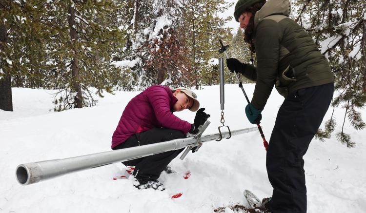
Snowpack is measured remotely by the Snow Telemetry network, operated by the Natural Resources Conservation Service. Levels of snow jumped over the weekend after mountain areas received more than 30 inches of fresh snow. Mt. Bachelor ski area has received 435 inches of snow this winter, the most since the 2016-17 winter when it received 578 inches.
With several feet of new snow, Central Oregon ski areas and groomed cross-country trail routes will continue to operate well into spring. Businesses that depend on tourism are expecting a continued influx of visitors wanting to snowshoe and ski in the mountains west of Bend.
Deschutes Basin Watermaster Jeremy Giffin said the snowpack levels could help bring up low reservoir and river levels in Central Oregon following several years of drought. Crescent Lake, which is only at 10% of capacity, is one water body that could get a considerable boost, he said.
“The lower-elevation snowpack is really good right now, and I am excited for the prospect of increased natural flow this spring,” said Giffin. “We have ample room in all of the basin reservoirs and welcome any increase in runoff that the increased snowpack can provide.”