Timeline

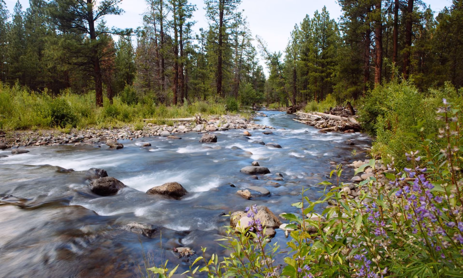
Tracing the River’s Journey
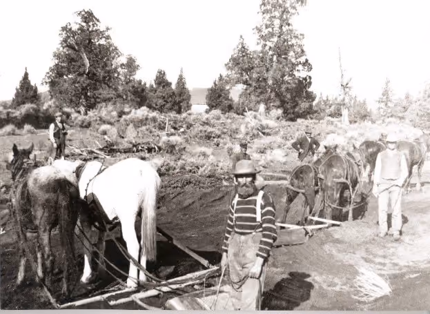
Black and white photo of men with draft horses working outdoors near trees and rough terrain.

1913

Surface water rights in the Deschutes Basin are fully allocated with diversions leaving some streams dry.

1987

Oregon law recognizes instream water as a beneficial use, providing a foundation for protecting water instream.

Clear stream flowing through rocky banks and dense green forest under a blue sky.

1992

Year-round flows returned to Tumalo Creek for the first time in over a century - proving that streamflow can be restored through voluntary partnerships.

Four middle-aged men smiling outdoors with trees and hills in the background.

1996

Deschutes Resources Conservancy is founded, bringing together diverse perspectives with a bold vision to restore streamflow and improve water quality across the Deschutes Basin.

Man standing on wooden platform over turbulent river, holding a long pole and tethered by a rope.

1997

The Confederated Tribes of Warm Springs settle their water rights dating from time immemorial, making the Tribes the most senior water rights holders in the basin.

Clear river flowing over rocks through a forest with tall pine trees and purple wildflowers.

1999

Year-round flows return to Whychus Creek for the first time in roughly 100 years.

Map showing Deschutes Partnership focus on 226 miles of Metolius River, Whychus Creek, and Lower Crooked River in Oregon.

2005

Deschutes River Conservancy and other organizations formally unite as the Deschutes Partnership to restore stream conditions to support salmon and steelhead reintroducation.

Three men standing in a shallow stream, two holding nets and buckets, one with a camera.

2007

Salmon and steelhead reintroduced to the Upper Deschutes Basin for the first time in over 40 years.

Rocky river flowing through forested area with bushes and trees under clear sky.

2009

Middle Deschutes restored flows surpass 125 cfs, a 76% increase since the formation of DRC.

Four people in waders standing in a shallow stream with nets and buckets surrounded by autumn foliage.

2014

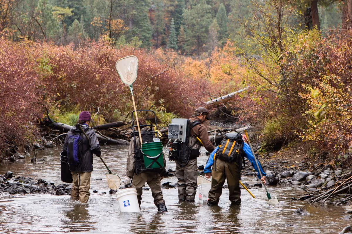
The first annual community volunteer effort rescues thousands of stranded fish, increasing awareness of river flow issues.

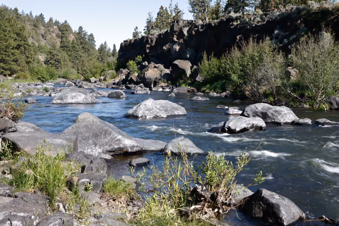
Crooked River flow restoration efforts result in a five-fold increase in streamflow where the river runs through Smith Rock State Park.

2016

Minimum winter flows in the Upper Deschutes increase from 20 cfs to 100 cfs.

Clear river flowing over rocks through a forest with tall pine trees and purple wildflowers.

2020

The Deschutes Basin Habitat Conservation Plan sets 30-year legally binding targets to increase flows in key tributaries, to protect endangered species.

Diagram showing water bank moving water from willing rights holders to rivers, farms, and cities with payments.

2025

Deschutes River Conservancy supported HB 3806 paves the way for more flexible water management - a tool for adapting to drought and climate change.

Forest scene with a shallow rocky creek surrounded by green shrubs and tall pine trees.

2026

McKay Creek project construction underway, restoring natural flows to a critical steelhead tributary for 2027.

Over 30 years, the Deschutes River Conservancy has built collaborative partnerships that have restored more than 2 billion gallons of water, piped over 100 miles of leaking canals, and helped secure the Deschutes Basin's water future.